For Immediate Release:
November 20, 2024
The City of Joliet Celebrates 25th Anniversary of National GIS Day
Event Highlighted the Impact of Geographic Information System (GIS) Technology
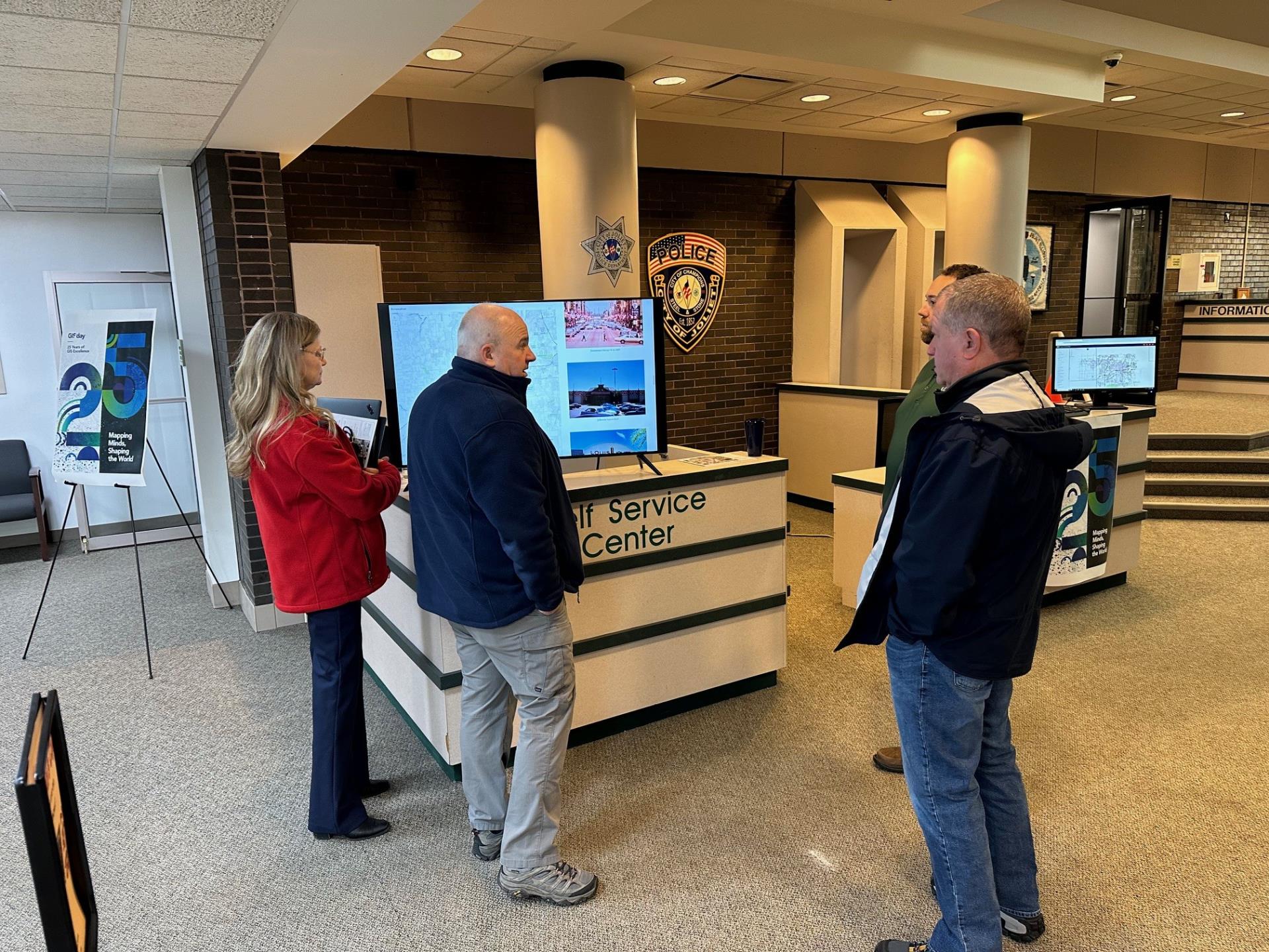
Joliet, IL – The City of Joliet marked the 25th anniversary of National Geographic Information System (GIS) Day on Wednesday, November 20, with demonstrations and displays in the Main Lobby of City Hall.
Staff from the city’s GIS Division were present to demonstrate the latest technology and celebrate the innovative applications of GIS. The event provided attendees with the opportunity to learn about geospatial data and its uses in municipal operations, showcasing the role of GIS in analysis and visualization.
“I’m excited to see how GIS has evolved in Joliet, and it’s rewarding to showcase the work we do every day,” said Michael DiGiannantonio, GIS Manager. “Over the past year, the GIS Division has been centralized under the Information Technology (IT) Department. We now provide mapping and data analysis to all departments in the City of Joliet,” DiGiannantonio added. Since the centralization, the division has expanded to three staff members and created several map products, including the widely used Public Access Map.
Over 20 years ago, Jack Dangermond, the founder and president of Esri, the global leader in GIS software, envisioned a day when people could collaborate and share how GIS technology impacts everyone. This vision led to the creation of GIS Day, which was first observed in 1999.
Since then, geospatial technology has grown into a global event, demonstrating how geography and GIS applications are making a difference in business, government, and society. National GIS Day provides an annual platform for organizations to highlight their achievements and inspire others to explore and utilize GIS.
Joliet joined hundreds of organizations worldwide in hosting both in-person and virtual events on Wednesday to celebrate the impactful work of GIS professionals. These gatherings were aimed at inspiring future innovators to continue advancing global progress through GIS technology.
According to a statement from Esri, “GIS Day is a fantastic opportunity for professionals from around the world to share their incredible work,” said Dangermond. “These individuals are using GIS to address unprecedented challenges, from COVID-19 to climate change. Organizations globally hosted grassroots events to celebrate geospatial science and its positive impact on the world. GIS Day is a time to recognize the achievements of our users in this field.”
For more information on GIS in municipal operations, please contact the GIS Division at 815-483-1054 or via email at gis@joliet.gov.
# # #
About the City of Joliet
The City of Joliet is located in Will and Kendall counties in the State of Illinois, 30 miles (48 km) southwest of Chicago. It is the county seat of Will County. At the 2020 census, the city was the third largest in Illinois, with a population of 150,362. For more information about the city, visit https://www.joliet.gov.
Media Contact: Rosemaria DiBenedetto, Media Engagement and Communications Director, Cell: 847-269-5556 or email: rdibenedetto@joliet.gov.
